

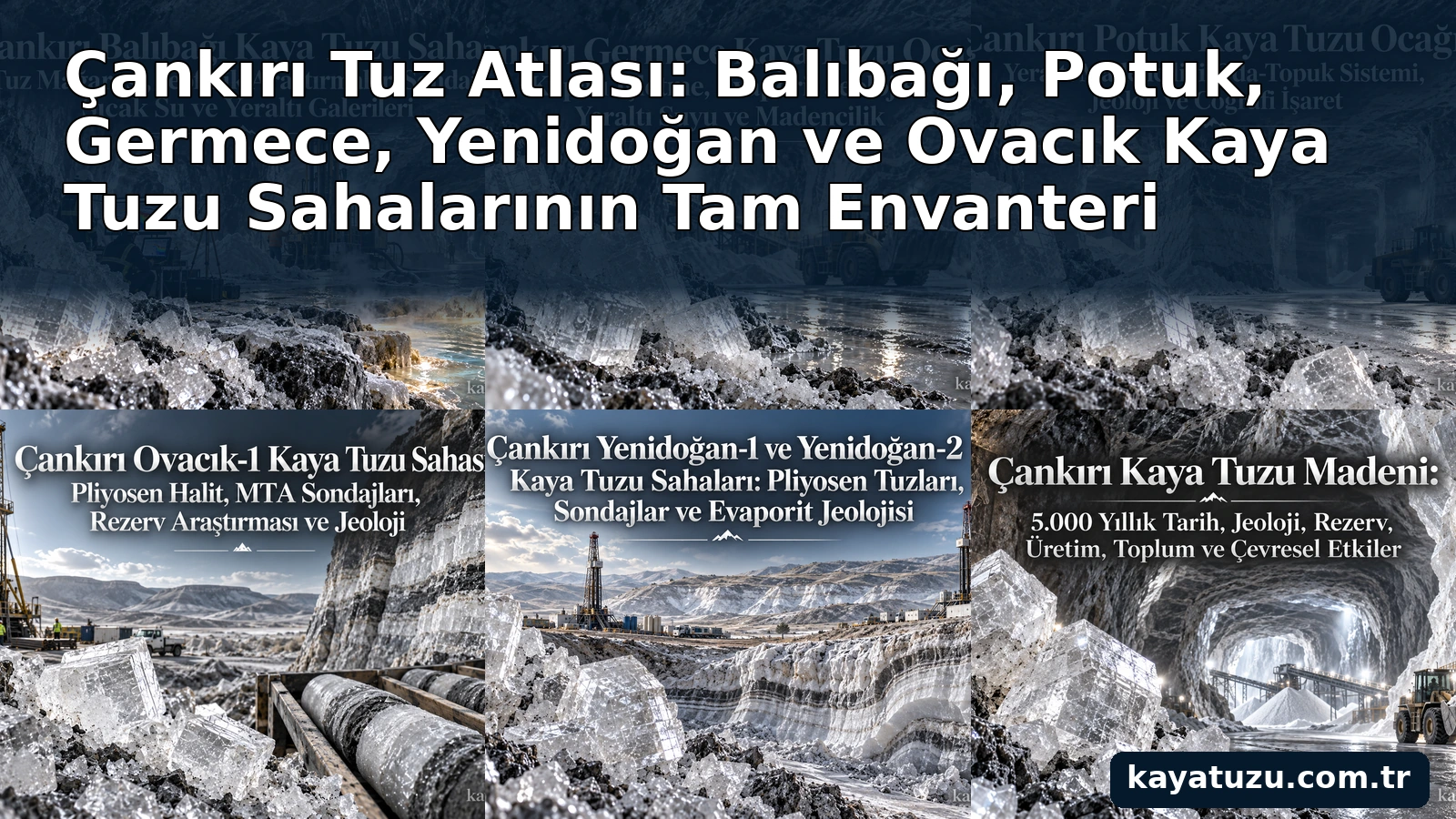
Çankırı Salt Atlas expands the Çankırı story beyond a single mine. It documents the wider salt-bearing basin through individual sites including Balıbağı, Potuk, Germece, Yenidoğan and Ovacık.
Why a Micro-Atlas Is Necessary
The Çankırı evaporite basin contains different mining and exploration areas with different overburden, salt thickness, groundwater conditions and histories. Treating every site as one mine hides important geological distinctions.
The micro-atlas therefore keeps field names and exploration areas separate wherever the source record allows.
Balıbağı and the Salt Cave
Balıbağı includes the well-known underground salt-cave area as well as geophysical investigations, boreholes and hydrogeological observations.
Potuk and Germece
Potuk and Germece represent important underground-mining areas in the broader Çankırı salt district. Their geology and mine layouts are documented separately.
Yenidoğan and Ovacık
The Yenidoğan-1 and Yenidoğan-2 areas and Ovacık-1 are especially important for understanding drilling results and Pliocene salt-bearing units beyond the best-known mine galleries.
Open and Underground Mining Areas
Differences in overburden thickness and salt exposure can determine whether an area is considered more suitable for underground galleries or for surface-oriented extraction. The atlas keeps these engineering concepts distinct from simple statements about total geological salt.
Saline Springs
Çankırı also contains saline-water manifestations linked to evaporites. These are documented separately because spring salt, hydrogeology and direct rock-salt mining are related but different subjects.